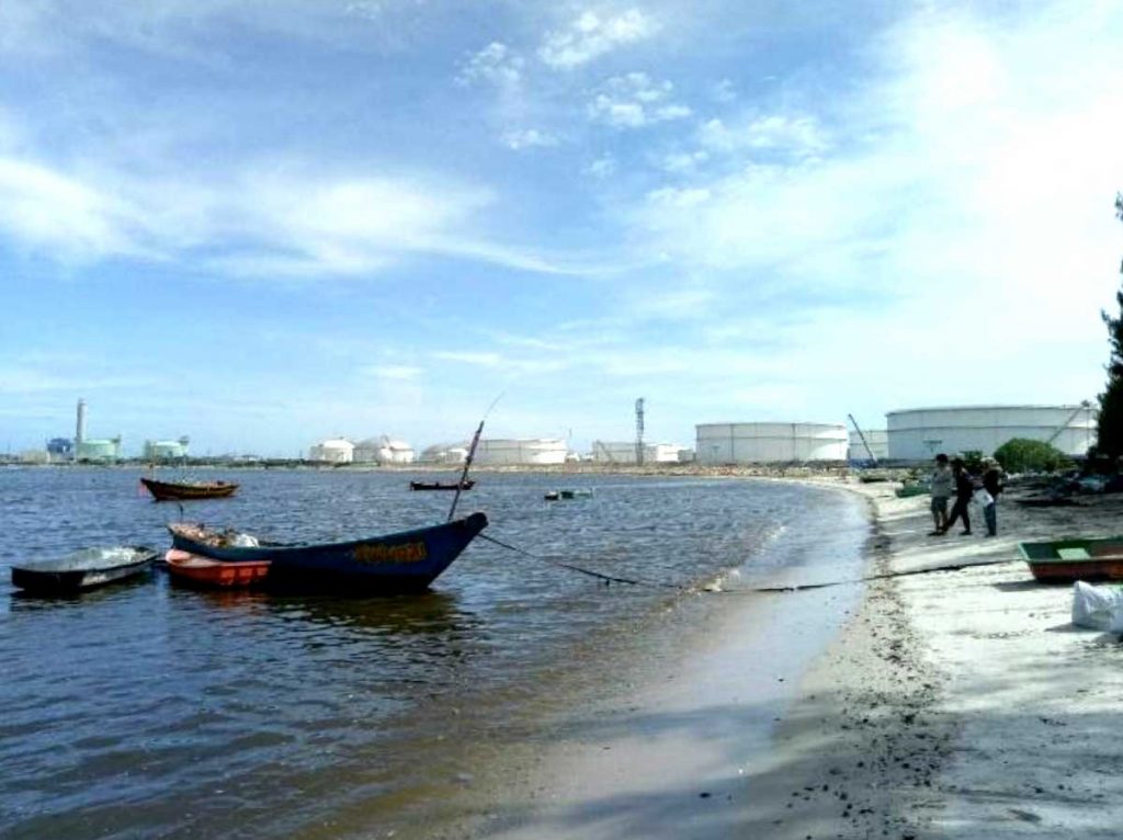
Maptaphut industrial estate and industrial port occupies 4,968.9927 acres located in Rayong, Thailand. This area is subdivided into 2,366.3 acres of industrial part, 801.8 acres of new urban community part, 1,134.7 acres of port part and 666.2 acres of additional part. This is the part of Eastern Economic Corridor Development, which is one of the main industrial estate of the country. There 64 factories in this area consisting of many kinds of industries, including general appliances, packaging, electrical equipment, automobile supplies, petroleum products, and chemical and plastic products. This area is very attractive for investors, as there is a port that facilitates product transportation.
The wastewater treatment system in Maptaphut industrial estate was set up according to the standard of Industrial Estate Authority of Thailand (IEAT Handbook 2016 Version 2) in relation estate with the regulation of draining wastewater to the central hub. The factories need to have close wastewater system and the system has to be separated from rainwater drainage. They also have to keep a waste water pond in order to collect water sample to analyse the quality of the water. The Maptaphut industrial estate also have the automate water quality analysis equipment at the entrance and the exit of Chak Mak canal (the canal that receive treated water from Maptaphut industrial estate) in real time.
Although there are many regulations that has been applied in this area there are still some effects to plant and animal biodiversity in that area. This may bring about the issues with 40 local communities (approximately 70,000 people) that live around there.
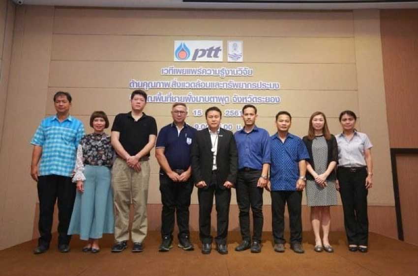
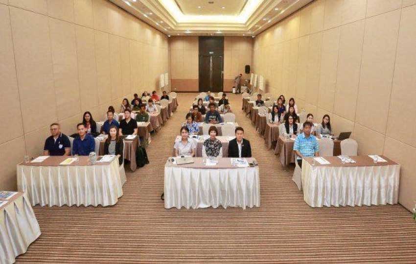
Aquatic Resources Research Institute, Chulalongkorn University together with PTT Public Company Limited (funding allowance) established a research project, aims to study the diversity of fisheries, marine ecology and oceanography (in summer) at Maptaphut area, Rayong. The results from this study were used to investigate the cause of environmental problems, in order to conduct the policy and management plan to protect the environment. Moreover, the industrial estate along with local community also used the data to establish the plan to manage the use of natural resources.
Researchers from Chulalongkorn University groups this area into 4 parts: 1) Hat Ta Kuan the area that was affected from industrial wastewater, local community, and shellfish culture, 2) Coral reefs of Koh Saket was also affected from the wastewater, 3) Suchada Beach and 4) Hat Saeng Chan the areas that was far away from the industrial estate, but still got the effected from industrial estate and the effect from tourism. The data from this study and ideas from local community were applied to develop the waste management protocols in order to protect the environment.
BY
Aquatic Resources Research Institute, Chulalongkorn University
Others
The Development of the Creative Tourism Project
Creative tourism is an industry with high potential which can generate income and improve the quality of life nation-wide with sustainability.
